


Gag

adamfv
User


Length
5.4 km

Max alt
138 m

Uphill gradient
244 m
Km-Effort
8.4 km

Min alt
14 m

Downhill gradient
181 m
Boucle
No
Creation date :
2021-07-29 10:05:52.0
Updated on :
2021-07-29 13:18:46.25
1h46
Difficulty : Medium

FREE GPS app for hiking
 SityTrail
IGN / Geographical institutes
SityTrail Plus
The world is yours!
About
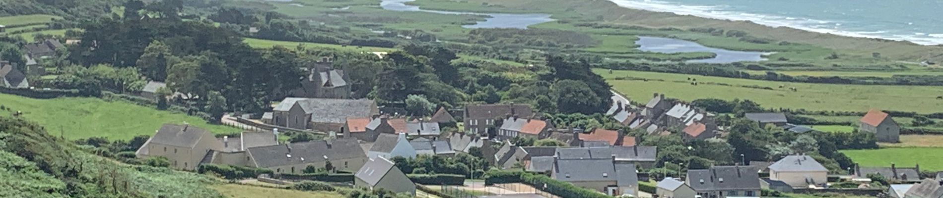
Trail Walking of 5.4 km to be discovered at Normandy, Manche, La Hague. This trail is proposed by adamfv.
Description
De
Photos


Positioning
Country:
France
Region :
Normandy
Department/Province :
Manche
Municipality :
La Hague
Location:
Vauville
Start:(Dec)
Start:(UTM)
582727 ; 5499570 (30U) N.
Comments